
Built for government & utility districts
Custom Creative · MapsMaps
From technical geographic maps to creative watershed illustrations — completely customized to your service area.
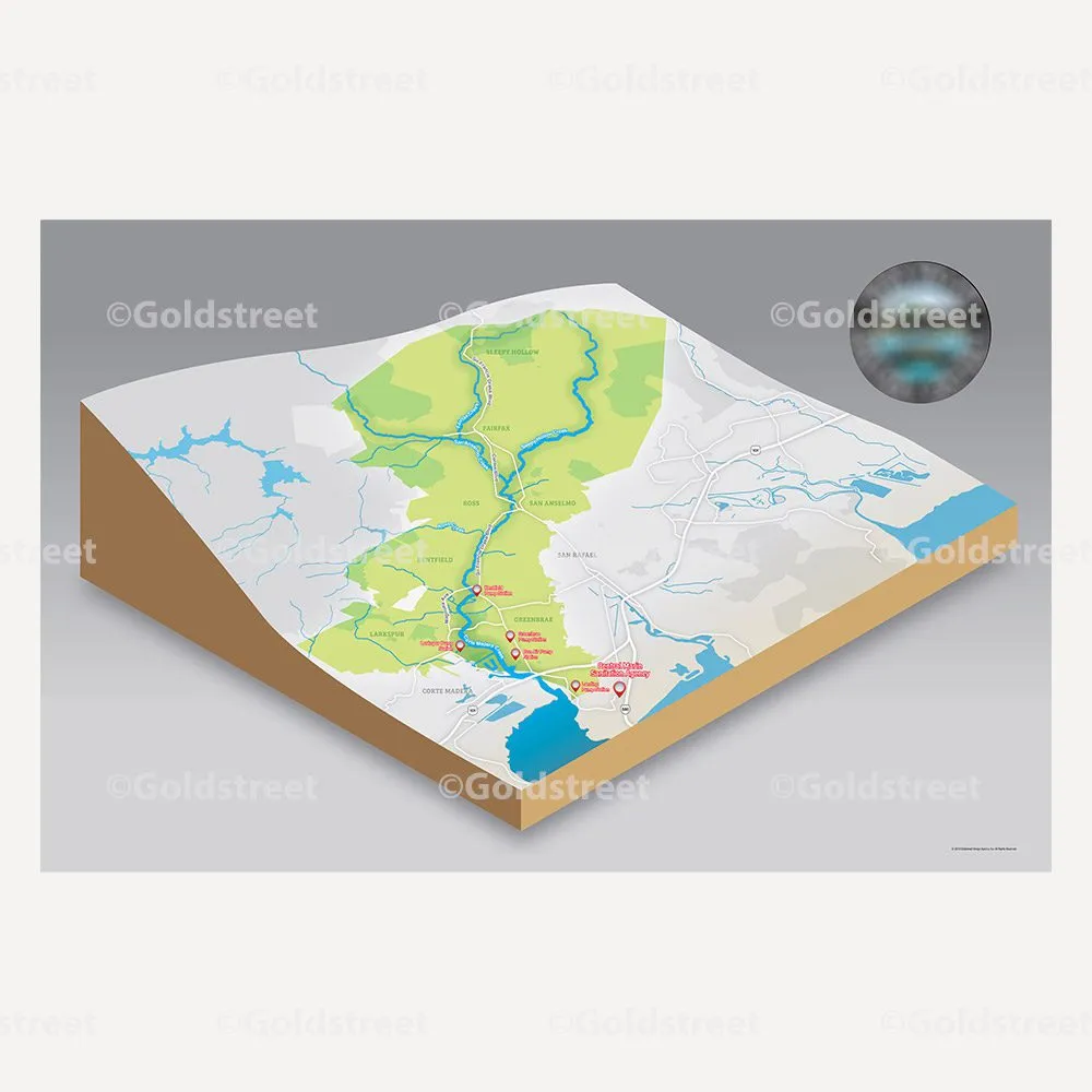
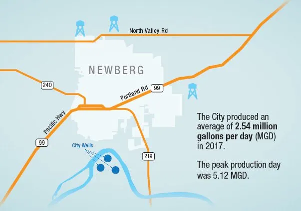
We are proud to offer map creation. From highly specific technical geographic map creations, to creative map illustrations, we do it all. Our map designing projects have ranged from cartoon illustrations of watersheds to in-depth grid system maps. With complete project customization, we are able to craft a map specific to your needs.
Our team specializes in creating professionally designed maps for local government, public works, and municipalities, but can assist with any illustrated map project.
Locate where. See how.
Related services.
Water Quality Reports
Maps are one of the most-requested graphics in CCRs — show residents exactly where their water comes from.
Explore CCRsAnnual Reports
Give your year-end report a sense of place with a custom service-area map.
Explore annual reportsIllustrations
Technical drawings, cartoon characters, icons, and more — maps are just the start.
Explore illustrationsConsult, design, deliver.
We have a proven process to reach the goals of your outreach.

Project Scoping
Determine project goals, deliverables, and budget.

Kickoff Call
Introduce the team and have a shared understanding on scope and project timeline.

Content Drafts
Copy is client-provided or drafted by our copywriters.

Creative Reveal
Our team presents the design for your review and feedback.

Wrap Up
Final, approved version is delivered on time and within budget.

Analyze Results
We follow up to make sure the goals of the outreach performed as expected.
Common questions, answered.
What kinds of maps can you create?
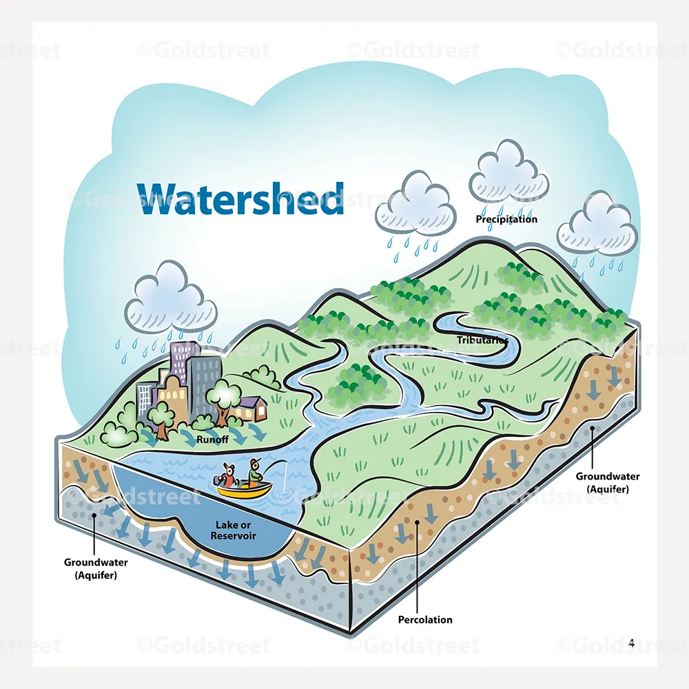
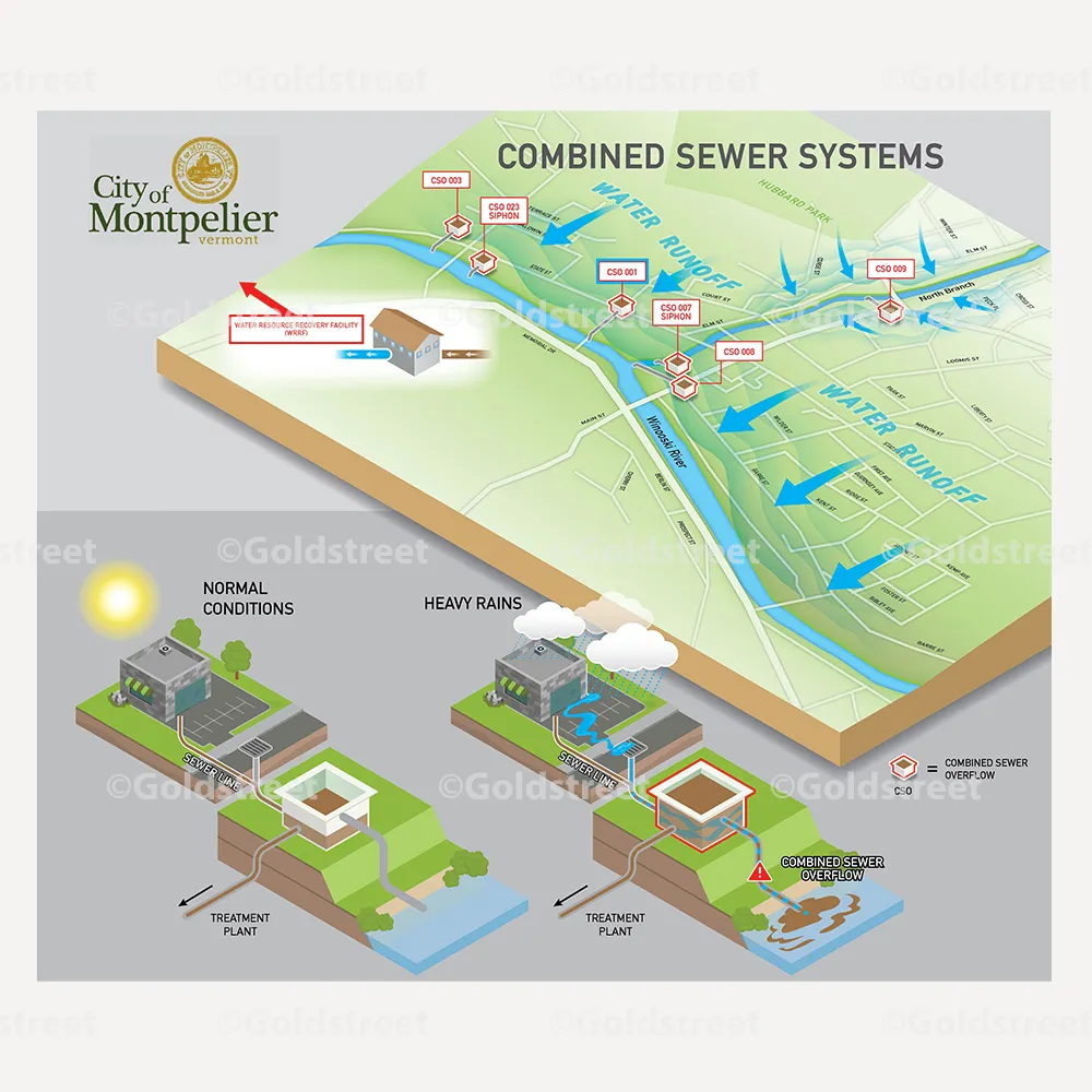
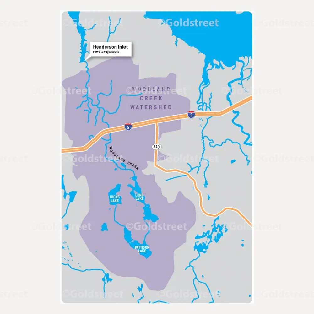
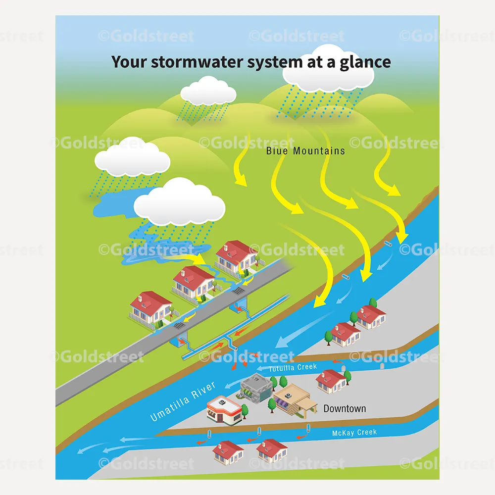
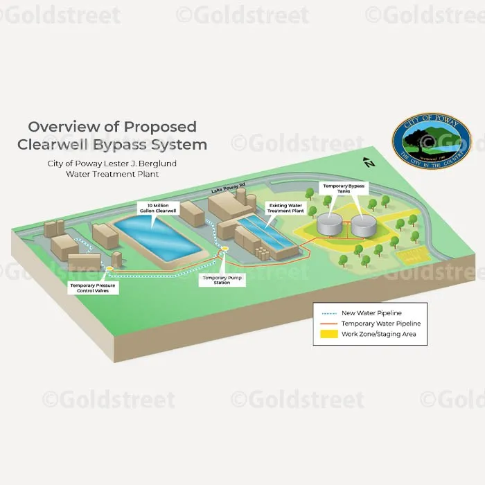
Everything from highly specific technical geographic maps to creative map illustrations — cartoon watershed illustrations, 3D and isometric system maps, flat watershed maps, custom city maps, and in-depth grid system maps. Each one is fully customized to your needs.
What do you need from us to start a map?
Whatever you have: existing maps, GIS exports, engineering drawings, or even a rough sketch with notes. We'll turn your source material into a finished map through our standard drafts-and-review process.
Where do these maps usually get used?
Water quality reports, stormwater booklets and brochures, annual reports, presentations, and websites. We deliver files sized for wherever the map will live — print or digital.
Can a map explain a technical system to residents?
That is exactly what many of our maps do — illustrated 3D maps of combined sewer systems, bypass systems, and watersheds that make complex infrastructure understandable at a glance.
Get in touch about your project
Tell us what you're working on and a person responds within 1 business day. Or call 866.742.8287 and talk to your project manager.
Rather talk it through? Schedule a 30-minute call with John.